Why County Lines Follow Rivers in Some Places and Ignore Them in Others
Why county lines follow rivers in some places and ignore them in others: compare maps and records to distinguish visible features from historical explanations.
The common mistake when reading a county boundary is to assume that a river must have drawn it. That can make a map look tidy while concealing the choices behind the line. To understand why county lines follow rivers in some places and ignore them in others, compare the mapped boundary with the terrain and records for that particular stretch.
A river offers a visible marker, not a complete explanation
A substantial river can be easier to recognise on the ground than a line crossing open fields. A boundary description that names a watercourse may therefore make a stretch of the division easier to locate. But that does not establish why the boundary was made or when it took its present form.
“The river” is not always a single, stable line. A map may show a centre channel, one bank, a main stream among several, or a tributary before it joins a larger river. Islands, bends and shifting channels complicate the comparison. A line that appears to follow water on a small-scale map may cross it on a more detailed sheet.
Even where a river serves as a convenient marker, its role may be practical rather than symbolic. Officials or local communities could use a recognisable feature to describe a division without treating the watercourse as the inevitable edge of a county.
Administrative lines can reflect arrangements beyond the landscape
Counties are administrative divisions as well as shapes on a map. A particular boundary might follow an earlier jurisdiction, estate division or community arrangement, but that remains a possibility until evidence for the place supports it. Avoid presenting a general explanation as the documented history of a specific county.
This helps make sense of a line that crosses a river. Settlements on opposite banks may have shared a market, parish centre or administrative connection, while a different boundary or route offered a more useful division. Those are interpretations to investigate, not conclusions to draw from the map alone.
The relationship can also change in appearance over time. A channel may move or be straightened, or a map may simplify its course. A river that now appears to mark a county edge may have become prominent after the boundary was established. A present-day map shows the current relationship; it does not, by itself, tell you which came first.
Compare the boundary with the land and map dates
Begin with a map that shows the county boundary and watercourses, then compare the same area with a contour or relief map. Note where the line changes direction and whether it follows a river, crosses a valley, tracks a ridge or runs towards a road crossing. These observations describe the route; they do not yet explain its history.
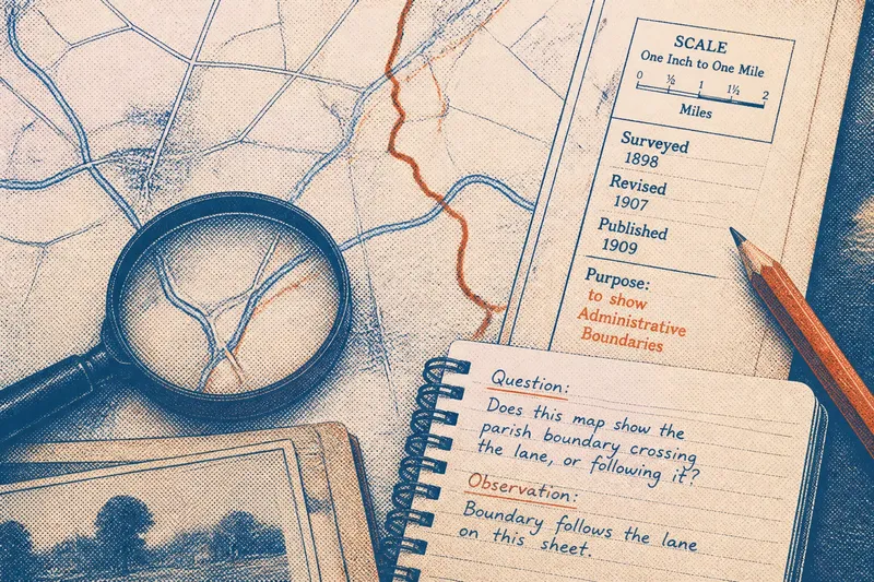
Check the map’s date and scale. A county map may simplify a line that a larger-scale map depicts around streams, roads or field edges. A transparent overlay, tracing paper or a mapping tool with a boundary layer can help you compare the line with the terrain without losing track of either source.
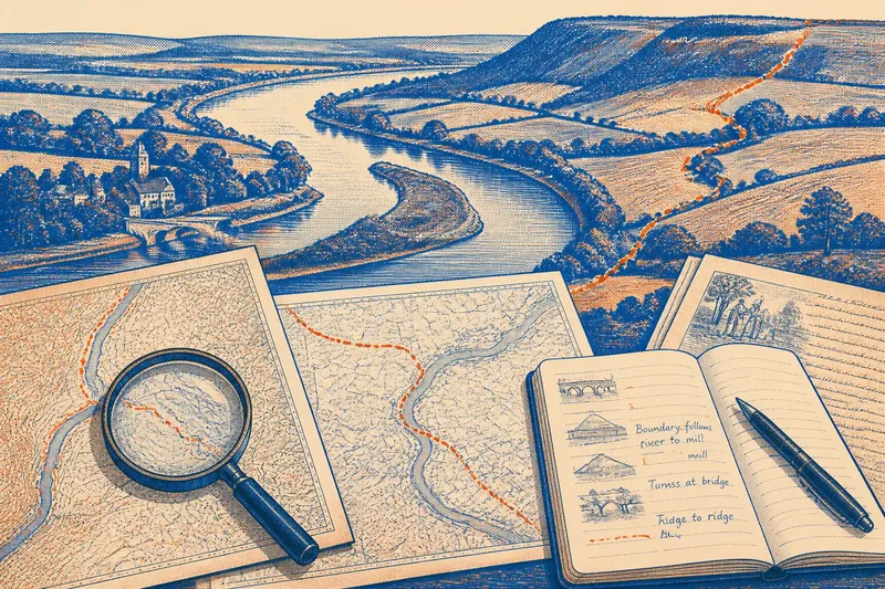
Imagine you are examining a boundary that follows a river on an old parish map, then turns towards a ridge on a later county map. First, note the exact bend where each map shows the turn. Next, compare the maps’ dates and check whether the later sheet depicts a changed channel or simply draws the boundary differently. Then search for a boundary description or local record naming the river, ridge or turning point. If the record matches the mapped route, you can say that it supports that reading; if it does not identify the turn, describe the visible pattern and leave the reason unresolved.
Use local records to test what the map suggests
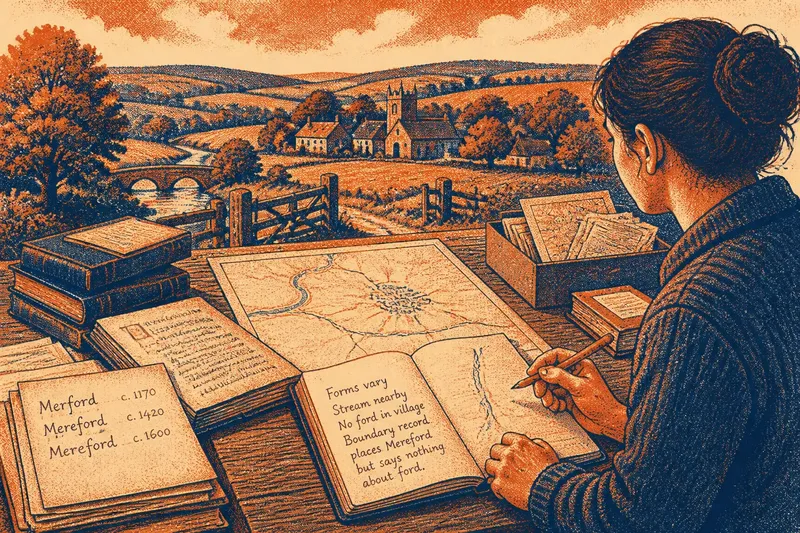
Useful sources can include boundary descriptions, boundary commission documents, parish or township maps, estate plans and historical survey maps. Local archives and council record offices are sensible places to search. Catalogue terms such as “boundary”, “perambulation”, “parish” and the names of adjoining settlements may help locate relevant material.
Read boundary descriptions closely. “Along the brook” may name a watercourse that has since changed; “to the bridge” identifies a point rather than a whole river corridor. A description may move from water to road, marker stone, field edge or ridge. Record those transitions separately instead of calling the entire boundary river-based.
Compare sources from different periods, but do not treat any one map as definitive without checking its date and purpose. A later document may record a revision; an older map may show a different channel or a boundary that crosses the water. Match named landmarks to visible features and note where wording could refer to more than one place.
- Check whether the line follows the channel or crosses it; if it follows the water, describe the stretch precisely, and if it crosses, record the crossing point instead.
- Check which feature the map depicts: a main channel, tributary, bank or island edge; if the feature is unclear, compare a larger-scale map, and if it remains unclear, mark the reading as uncertain.
- Check the dates of the maps being compared; if they differ, look for channel changes or boundary revisions, and if neither source explains the difference, report both mapped versions.
- Check for a ridge, valley edge or road near the point where the line leaves the river; if one aligns with the boundary, record it as a possible clue, and if none does, do not invent a terrain-based explanation.
- Check whether a written description names the same turns as the map; if it does, cite that correspondence in your notes, and if it does not, keep the historical explanation open.
- Check whether a place name could identify more than one stream, bridge or ridge; if it is ambiguous, search for a matching local map or record, and if ambiguity remains, state it plainly.
What should you check when a county line meets a river?
Does the boundary follow the channel or cross it?
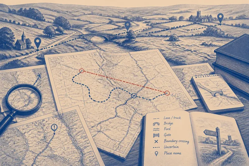
Trace the line on a map detailed enough to show bends and tributaries. If it runs along a bank or channel, note the stretch; if it crosses at an angle, record the crossing rather than describing it as river-following.
Which water feature does the map show?
Check whether the line meets a main channel, smaller stream, island edge or mapped bank. If the channel may have moved, compare maps from different dates before deciding that the boundary itself shifted.
Does the terrain suggest another route?
Look for a ridge, valley edge, road crossing or settlement connection where the boundary leaves the water. Treat any match as a clue, not proof of why the line was chosen.
Do local records describe the same turns?
Search boundary descriptions and older parish, township or estate maps for the same stretch. If named landmarks match, record the support; if the wording does not locate a precise point, leave the interpretation open.
Keep the explanation close to the evidence
Separate what the map shows from what you infer. You can state that a boundary follows a river between two mapped bends and then turns towards a ridge. Saying that the line was drawn to keep a community together is a stronger historical claim and needs records or local administrative evidence that support it.
Some stretches will remain uncertain because rivers shift, maps simplify and descriptions use local names that are now unclear. Check the source’s date, purpose and notes. If a specific claim depends on a local boundary record, consult the relevant archive rather than filling the gap with a plausible story.
The most useful account of why county lines follow rivers in some places and ignore them in others distinguishes mapped features from documented explanations. Treat a boundary like a seam on a coat: it may follow one edge for a while, then turn where the pieces were joined. The comparison is only a starting point; the map and local records must show what happened in the place you are describing.